What’s the Zoning of My Property?
Need to know the current zoning of your property, future land use designation or other development information? Use the interactive map below or contact us by calling (509) 575-6183 or emailing to: ask.planning@yakimawa.gov.
Zoning Districts
The City of Yakima is divided into several zoning districts (see zoning district definitions). Land uses are categorized by what zoning districts they are allowed in and are designated a level of review that the proposed land use would need to go through with the Planning Division in order for it to be determined whether it will be permitted. Table 4-1 Permitted Land Uses in Title 15 of the Yakima Municipal Code lists all land use categories that may be permitted based on zoning district.
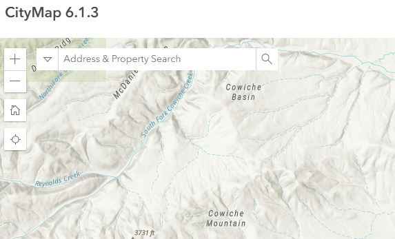
Interactive Mapping
The City of Yakima CityMap allows you to look at and analyze a variety of data layers. You can locate properties by parcel number, situs address, last name of property owner, or organization name. Use the tools to navigate, identify or measure in the map window. Choose tools in the upper bar.
Need help using CityMap? Contact us at (509) 575-6183 or email to: ask.planning@yakimawa.gov. We are happy to look up information for you.
Note: Information may not be current to date. The City of Yakima is not responsible for any incorrect information derived from the GIS system!